





About Planet Imaging Satellite
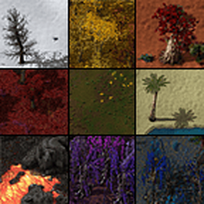
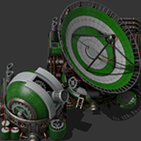
From Factorio Mod PortalDetects when a rocket launches with a satellite in its cargo and begins to map out the world in the same way as a satellite track might appear on a flat map. Much like the radar units the current square being observed by the satellite will be fully visible while other squares it has already revealeed will be the more general color coded type map.
Detects when a rocket launches with a satellite in its cargo and begins to map out the world in the same way as a satellite track might appear on a flat map. Much like the radar units the current square being observed by the satellite will be fully visible while other squares it has already revealeed will be the more general color coded type map.
Highlights
From source dataGame versions
Built for Factorio 1.1.
Footprint
Rated a light load on a server.
License
Published under MIT.
Planet Imaging Satellite on Nxeon
From our catalogue- One-click install
- Supported on Nxeon Factorio servers. We download it from Factorio Mod Portal, place it, and restart the server.
- Server side
- Required on the server
- Server load
- light
- Smallest plan we suggest
- Factorio — 2 GB (2 GB RAM). This follows our own load rating above, not a benchmark.
- Latest build
- 1.0.3, released 2021-02-16
Run Planet Imaging Satellite on a Factorio server
Pick a server or deploy a new one above; it is installed in one click.
What kind of mod it is
From the catalogWorld generation
Changes or adds to how new terrain, biomes and structures are created.
Runs on your server
From source side supportFactorio Mod Portal lists Planet Imaging Satellite as required on the server. Check its Factorio Mod Portal page to see whether players need it too.
Compatibility
- Game
- Factorio
- Runs on
- Serverrequired on the server
- Game versions
- 1.1
Verified at the source
- ✓Factorio Mod PortalOfficial listing, checked 2026-10-08Open ↗
- ✓AuthorKatarn321, as published on Factorio Mod Portal
- ✓LicenseMITFree